Uploads by Indio007
Jump to navigation
Jump to search
This special page shows all uploaded files.
| Date | Name | Thumbnail | Size | Description | Versions |
|---|---|---|---|---|---|
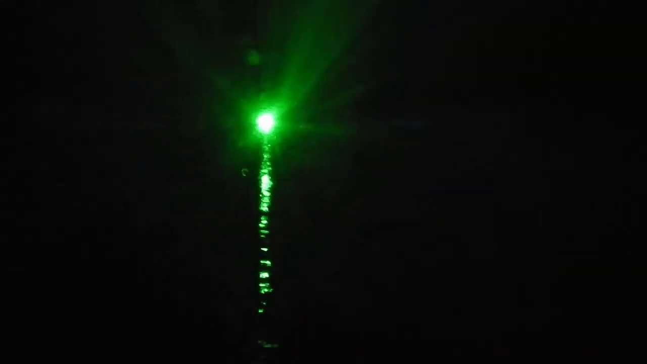
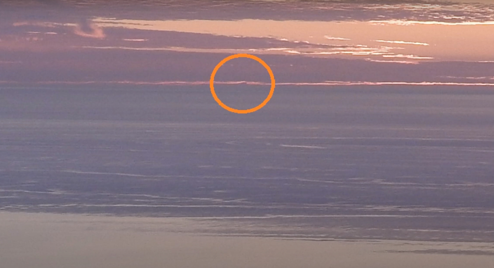
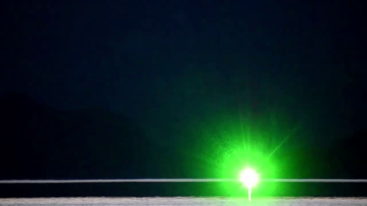
| 21:29, 19 February 2021 | Sea of Galilee laser.png (file) |  |
126 KB | 1 | |
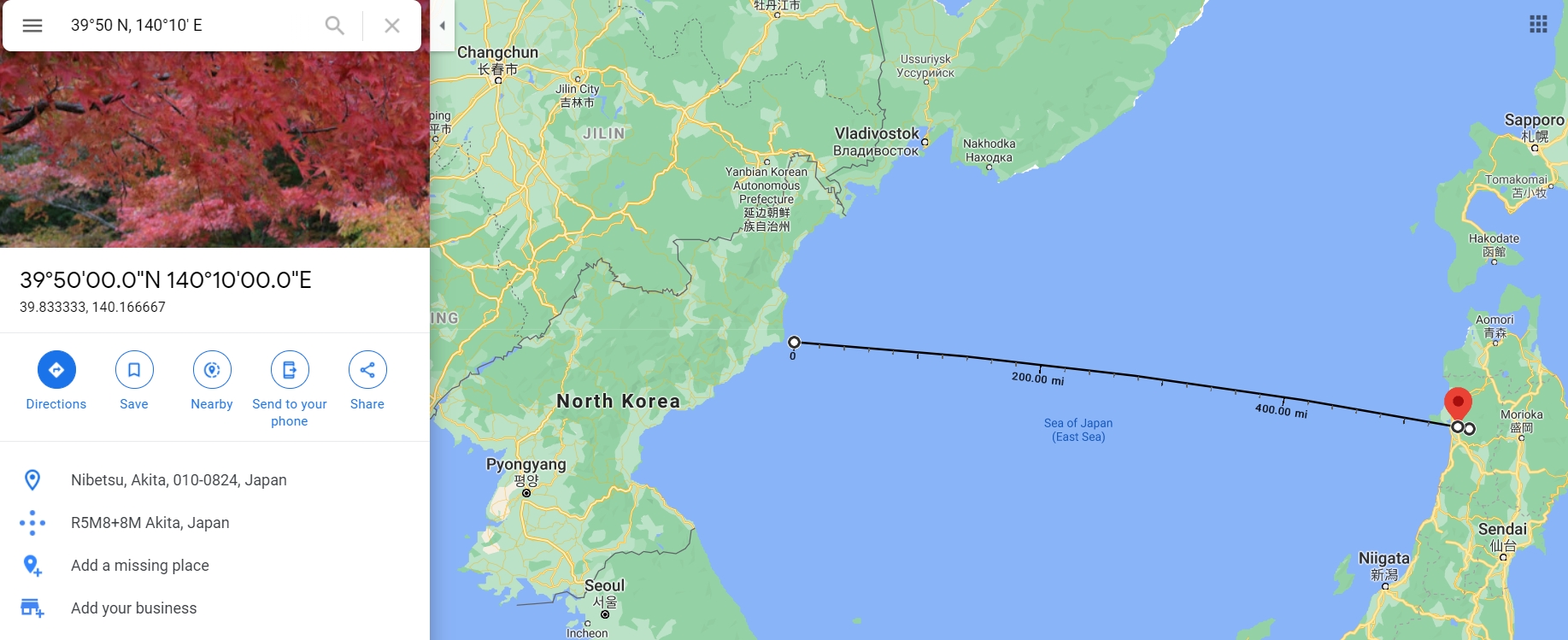
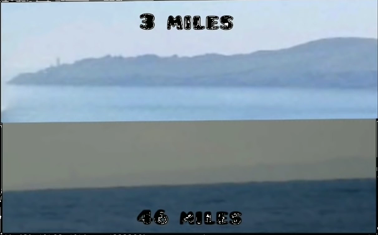
| 02:10, 24 January 2021 | Cape Boltin NK to Japan.jpg (file) |  |
533 KB | 1 | |
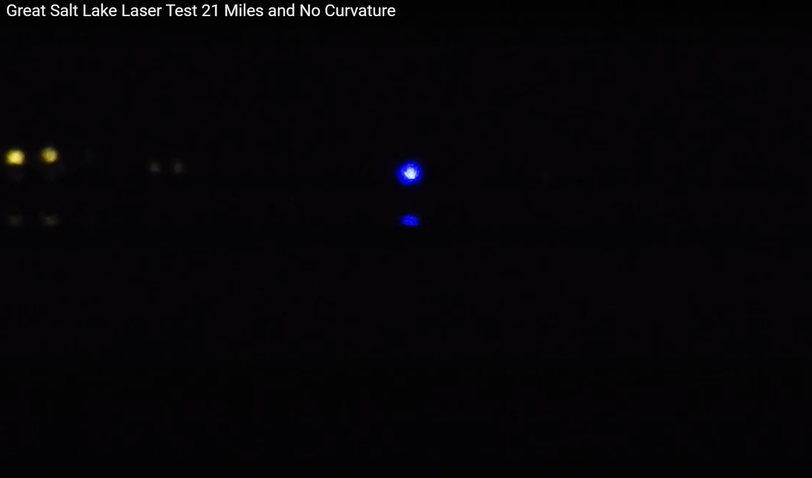
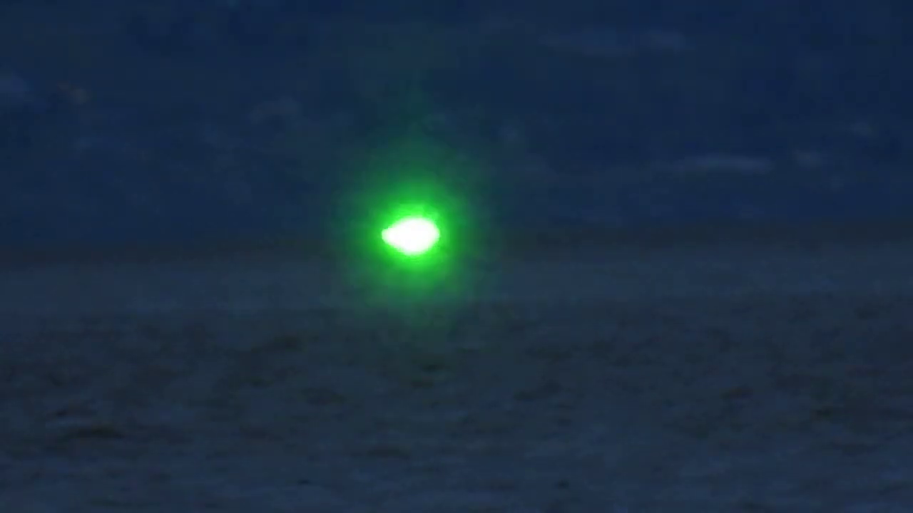
| 20:52, 21 January 2021 | Great Salt Lake Laser.jpg (file) |  |
130 KB | 1 | |
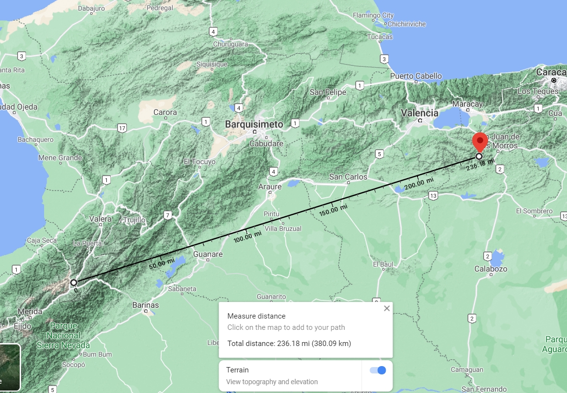
| 02:45, 11 January 2021 | El Aguila to Platillón.jpg (file) |  |
693 KB | 1 | |
| 20:16, 10 December 2020 | Paglia Orba from Sallfort.jpg (file) |  |
542 KB | 1 | |
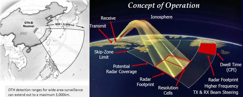
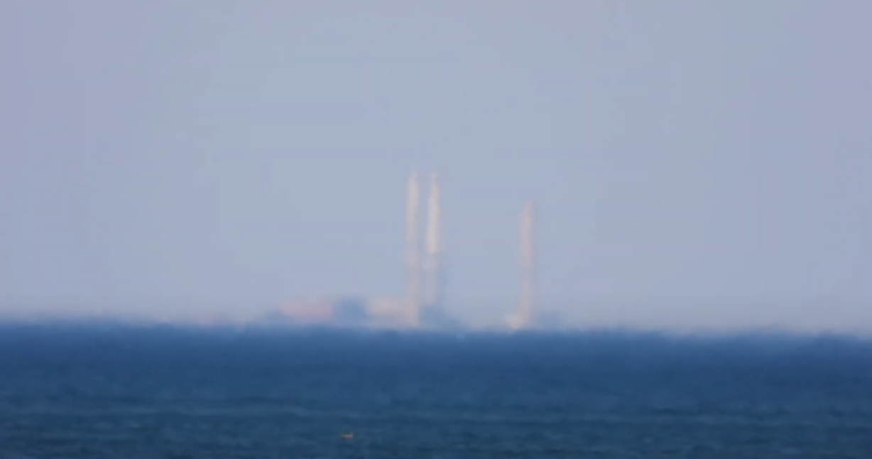
| 00:59, 7 October 2020 | Over The Horizon Targeting .jpg (file) |  |
150 KB | 1 | |
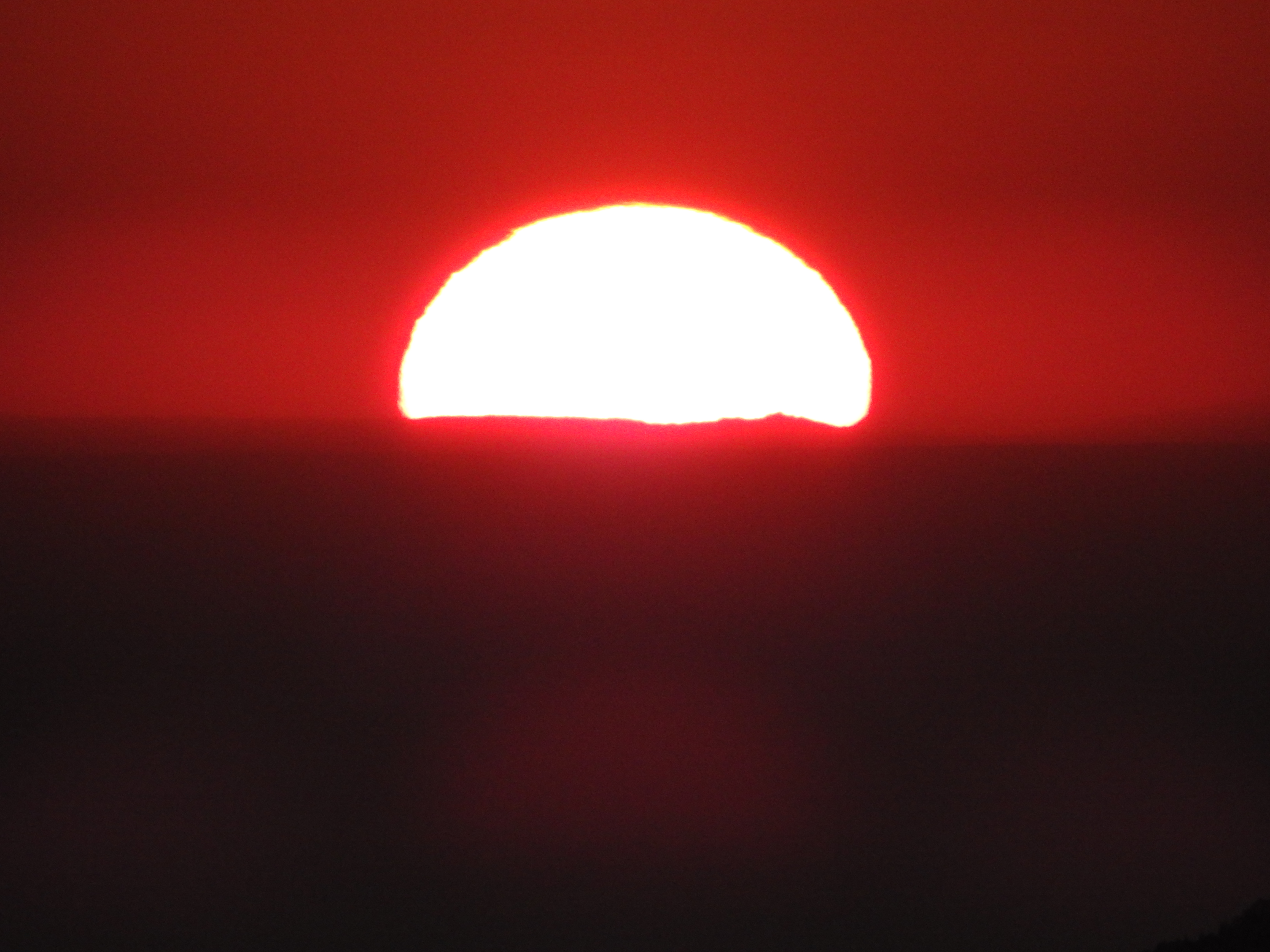
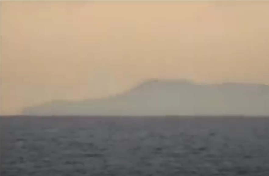
| 21:07, 26 September 2020 | Sun caused silhouette of Tête de l'Estrop.jpg (file) |  |
3.2 MB | 1 | |
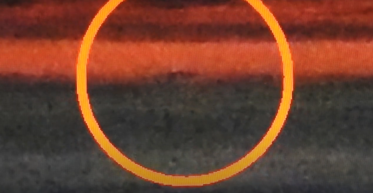
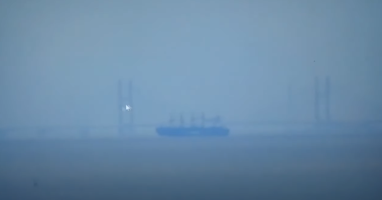
| 17:36, 26 September 2020 | IR photo Isle of Mann.jpg (file) |  |
628 KB | 1 | |
| 19:40, 29 August 2020 | Flat Earth - Start point lighthouse just flattened the globe.png (file) |  |
270 KB | 1 | |
| 00:36, 16 August 2020 | 10.4 miles Slocan.png (file) |  |
235 KB | 1 | |
| 00:30, 16 August 2020 | 16.4 mile laser.png (file) |  |
268 KB | 1 | |
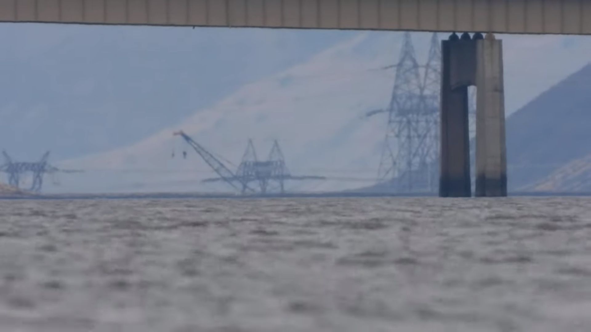
| 22:39, 17 June 2020 | Wanapum Dam.jpg (file) |  |
74 KB | 1 | |
| 13:54, 23 May 2020 | TEST IMAGE.png (file) |  |
412 KB | 1 | |
| 05:12, 15 May 2020 | Winnipeg.jpg (file) |  |
157 KB | 1 | |
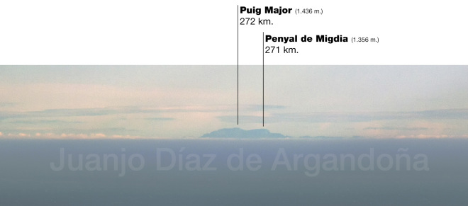
| 14:47, 2 May 2020 | Barcelona to Mallorca.jpg (file) |  |
931 KB | 1 | |
| 04:04, 23 April 2020 | Skunk bay.gif (file) |  |
17.46 MB | 1 | |
| 19:35, 18 April 2020 | Othb-cover-map.gif (file) |  |
12 KB | 1 | |
| 19:25, 18 April 2020 | Listen-to-admiral-byrd-radio-news-short-wave-july-1934-4.jpg (file) |  |
209 KB | 1 | |
| 18:03, 18 April 2020 | Marconi Fisk Plaque.png (file) |  |
825 KB | 1 | |
| 17:53, 18 April 2020 | Map of Knickebein transmitters.svg.png (file) | 143 KB | 1 | ||
| 05:27, 18 April 2020 | Hormallorca.jpg (file) |  |
37 KB | 1 | |
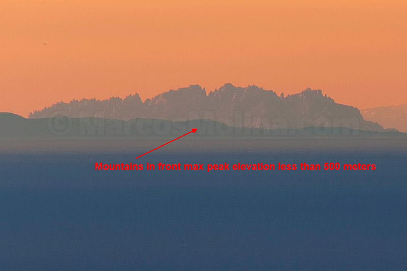
| 04:02, 18 April 2020 | Marcos-molina-arrow.jpg (file) | 317 KB | marked up image | 1 | |
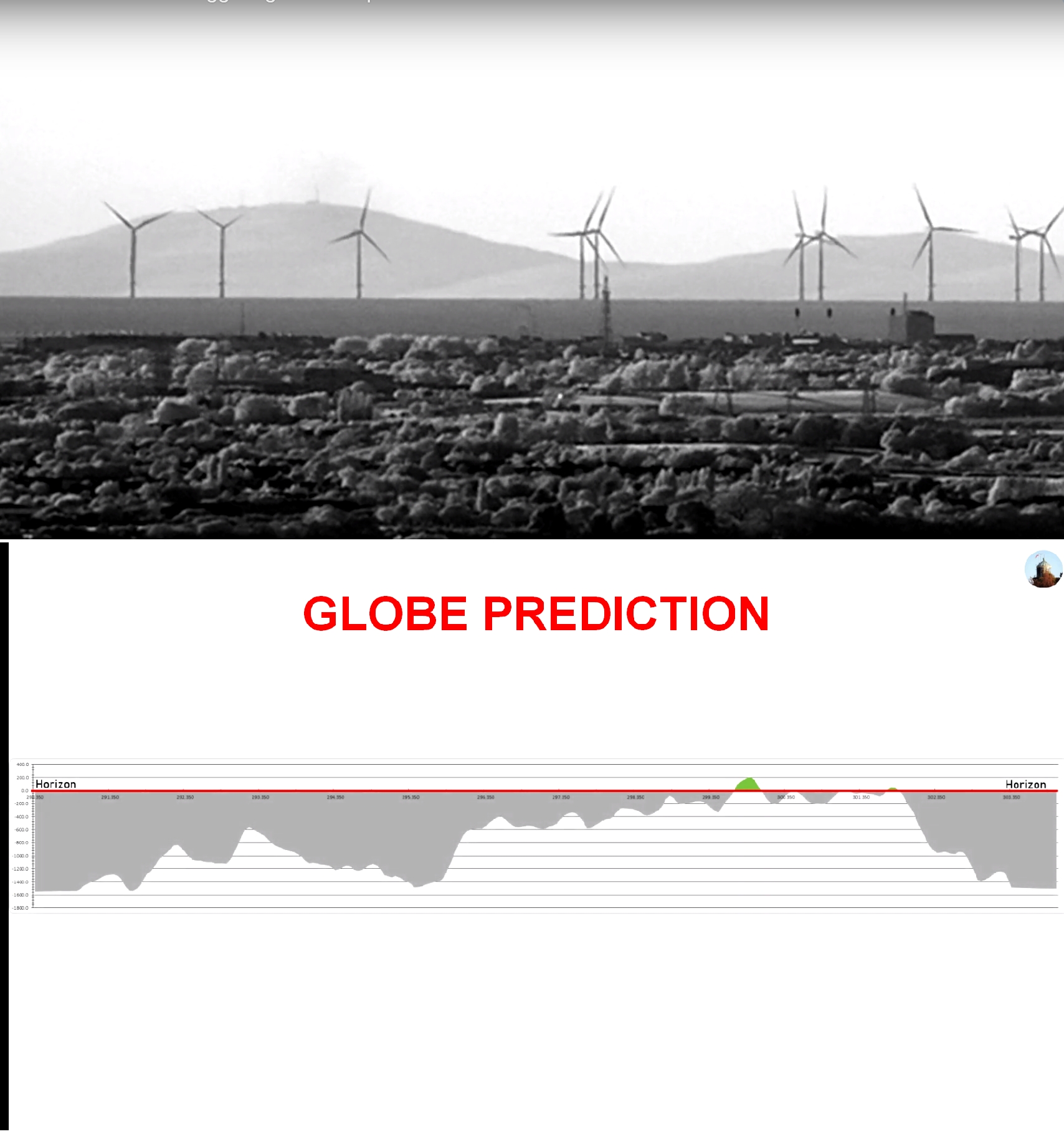
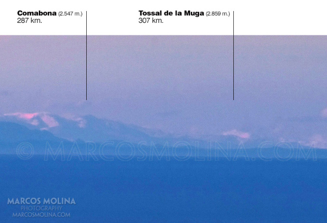
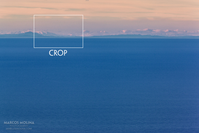
| 03:52, 18 April 2020 | CROPPED.jpg (file) |  |
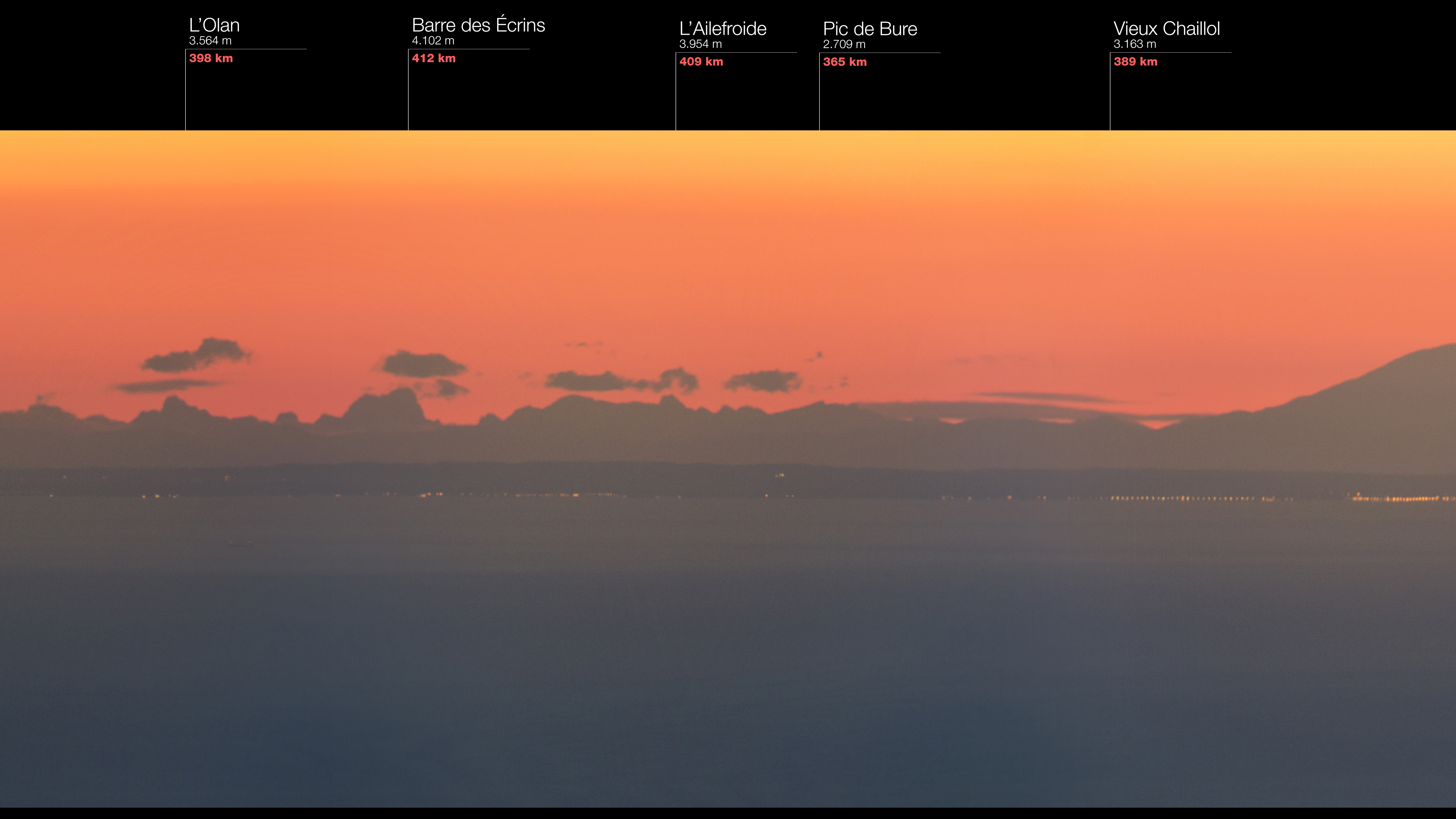
99 KB | Mollorca to Pyranees 302 KM from 1002 meter elevation - globe model predicts Tossal de la Muga is 100 meters under the horizon | 1 |
| 03:48, 18 April 2020 | Mollorca to Pyranees.jpg (file) |  |
153 KB | 1 | |
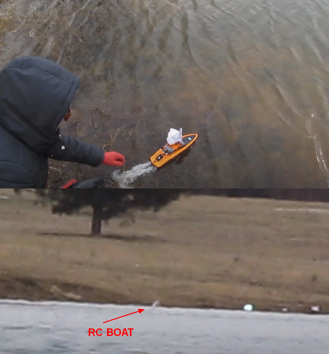
| 03:31, 18 April 2020 | Rcboat2.jpg (file) |  |
465 KB | 1 | |
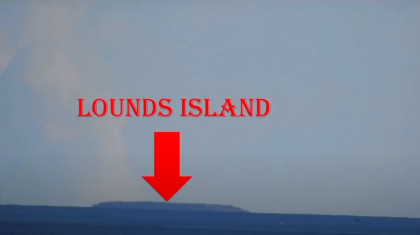
| 22:27, 17 April 2020 | Lounds Island.jpg (file) |  |
178 KB | 1 | |
| 19:29, 17 April 2020 | Alma NB.png (file) |  |
377 KB | 1 | |
| 18:02, 17 April 2020 | Lake McConaughy Dam.png (file) |  |
438 KB | 1 | |
| 07:23, 17 April 2020 | Pub200bk2005.pdf (file) | 7.69 MB | PUB. 200 (PLANNING GUIDE SAILING DIRECTIONS & ENROUTE) ANTARCTICA 2005 NATIONAL GEOSPATIAL-INTELLIGENCE AGENCY Bethesda, Maryland | 1 | |
| 20:57, 15 April 2020 | The Secret War.mp4 (file) | 72.76 MB | Knickebein | 1 | |
| 18:37, 14 April 2020 | Wales to Lake District.png (file) |  |
447 KB | 1 | |
| 18:28, 14 April 2020 | Albufeira to Praia de Faro Tower.png (file) |  |
388 KB | 1 | |
| 18:22, 14 April 2020 | La Gomera to Sail Boat.png (file) |  |
36 KB | 1 | |
| 17:52, 14 April 2020 | Fort Niagara to Toronto.png (file) |  |
196 KB | 1 | |
| 17:46, 14 April 2020 | Itälahti Lauttasaari to Gråhara Lighthouse.png (file) |  |
371 KB | 1 | |
| 16:05, 14 April 2020 | Prestatyn to Black Combe.png (file) |  |
2.31 MB | 1 | |
| 14:55, 14 April 2020 | Liverpool to Isle of Mann.png (file) |  |
1.84 MB | 1 | |
| 14:37, 14 April 2020 | Mille Lacs.png (file) |  |
470 KB | 1 | |
| 14:31, 14 April 2020 | Puig Sallfort to Giraglia Lighthouse 2.png (file) |  |
719 KB | 1 | |
| 14:30, 14 April 2020 | Puig Sallfort to Giraglia Lighthouse.png (file) |  |
197 KB | 1 | |
| 14:25, 14 April 2020 | The Lhen Beach to The Mull of Galloway Lighthouse.png (file) |  |
753 KB | 1 | |
| 14:23, 14 April 2020 | Dennis Beach to Gullivers Cove.png (file) |  |
799 KB | 1 | |
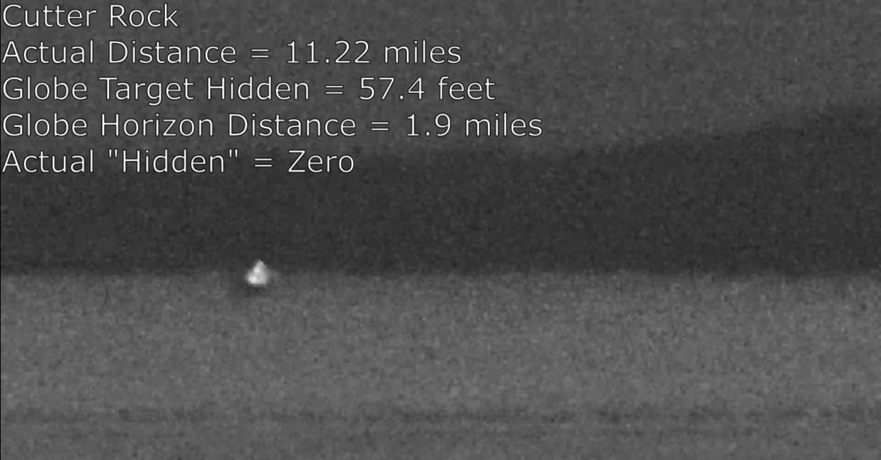
| 14:19, 14 April 2020 | Pine Island to Cutter Rock.png (file) |  |
461 KB | 1 | |
| 14:15, 14 April 2020 | Glencoe Pier to Waukegan NRG Power Station.png (file) |  |
183 KB | 1 | |
| 14:12, 14 April 2020 | Minehead UK to Second Severn bridge.png (file) |  |
87 KB | 1 | |
| 14:05, 14 April 2020 | Ocenside Pier to Catalina Island.png (file) |  |
114 KB | 1 | |
| 13:58, 14 April 2020 | Rock Lake Frozen Lights.png (file) |  |
456 KB | 1 | |
| 05:11, 14 April 2020 | BSelesey.jpg (file) |  |
72 KB | 1 | |
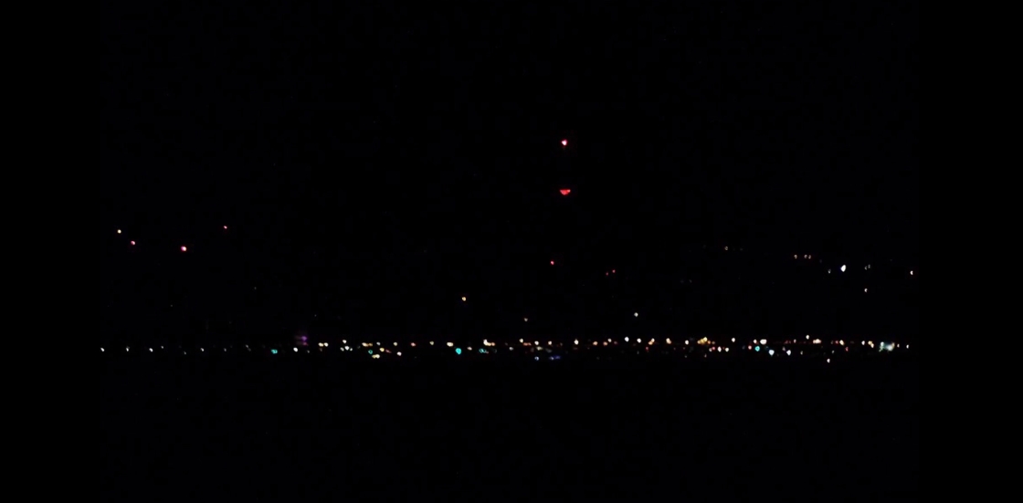
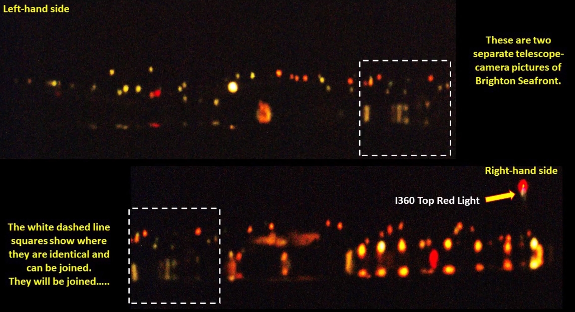
| 05:06, 14 April 2020 | Brighton night.jpg (file) |  |
442 KB | 1 | |
| 05:01, 14 April 2020 | Panob.jpg (file) |  |
6.59 MB | 1 |