File:Lounds Island.jpg
Jump to navigation
Jump to search

Size of this preview: 800 × 449 pixels. Other resolutions: 320 × 179 pixels | 1,380 × 774 pixels.
Original file (1,380 × 774 pixels, file size: 178 KB, MIME type: image/jpeg)
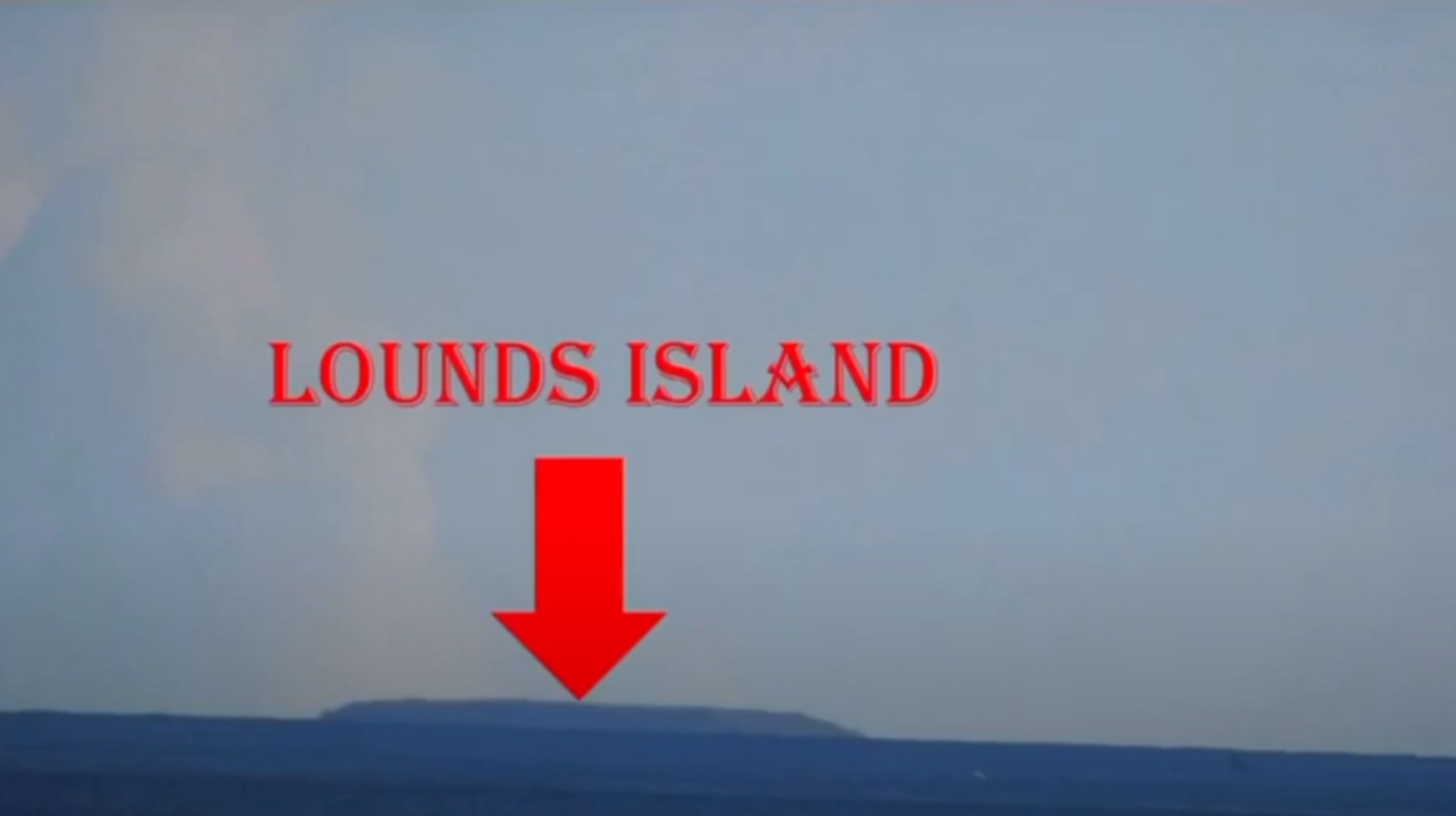
Lounds Island from 29.6 KM and 7.5 height - Globe model predicts the bottom of Lounds Island is 30 meters underneath the horizon
File history
Click on a date/time to view the file as it appeared at that time.
| Date/Time | Thumbnail | Dimensions | User | Comment | |
|---|---|---|---|---|---|
| current | 22:27, 17 April 2020 | | 1,380 × 774 (178 KB) | Indio007 (talk | contribs) |
You cannot overwrite this file.
File usage
The following page uses this file:

